搜索结果: 1-8 共查到“特色库 the Earth”相关记录8条 . 查询时间(0.147 秒)

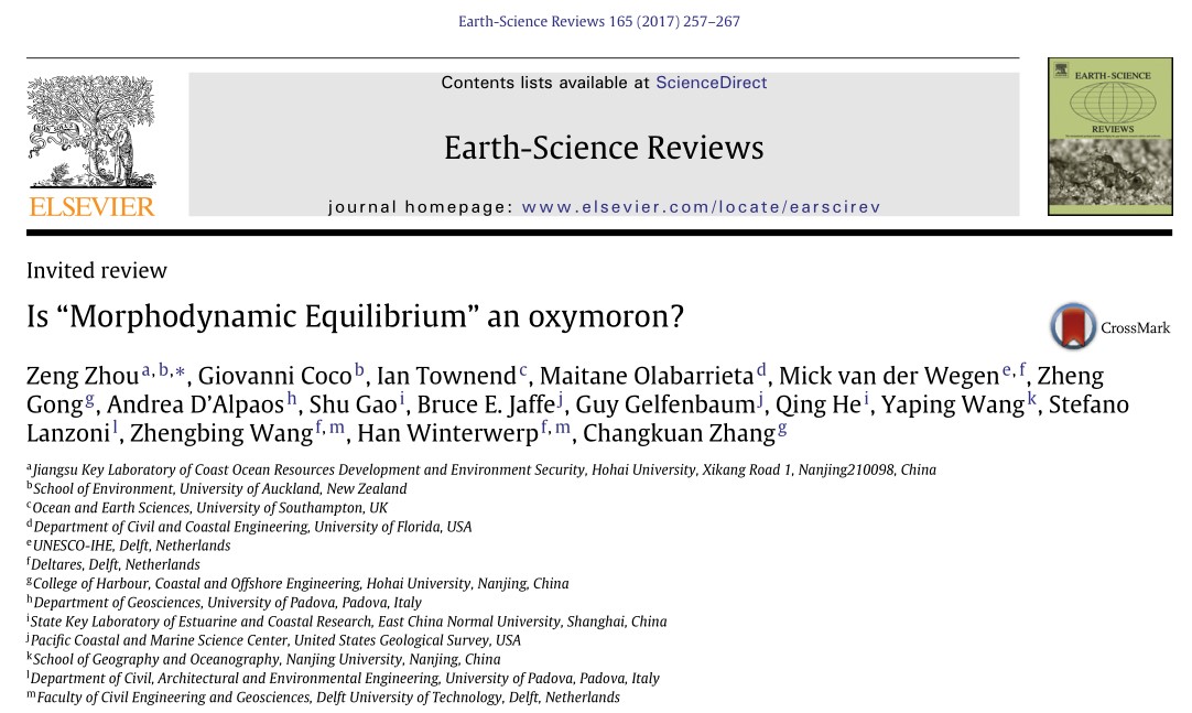
河海大学港口海岸与近海工程学院周曾副研究员在一区期刊《Earth-Science Reviews》发表受邀学术论文(图)
河海大学港口海岸与近海工程学院 周曾 副研究员 一区期刊 Earth-Science Reviews 学术论文
2018/6/28
近日,周曾副研究员受邀以第一作者身份在1区期刊《Earth-Science Reviews》上发表了题为“Is 'Morphodynamic Equilibrium' an oxymoron?”的学术论文,深入探讨了河口、海岸地貌学研究中遇到的地貌平衡态的理论问题,对平衡态的已有研究进行了大规模的梳理,并以数学形式给出了地貌平衡态的定义。该成果依托2015年我校组织召开的第四届“Estuary D...

Physics and Chemistry of the Earth is an international interdisciplinary journal for the rapid publication of collections of refereed communications in separate thematic issues, either stemming from s...
Environmental Earth Sciences is an international multidisciplinary journal concerned with all aspects of interaction between humans, natural resources, ecosystems, special climates or unique geographi...
Observations of tsunamis away from shore are critically important for improving early warning systems and understanding of tsunami generation and propagation. Tsunamis are difficult to detect and meas...
Hydrology and Earth System Sciences (HESS) is an international two-stage open access journal for the publication of original research in hydrology, placed within a holistic Earth System Science contex...
The Use of GIS and Google Earth for Preliminary Site Selection of Groundwater Recharge in the Azraq Oasis Area—Jordan
GIS Groundwater Recharge Jordan Azraq Oasis
2013/3/19
Groundwater is considered to be the major water resource for many areas and the only source of water in some areas in Jordan. Some of Jordan groundwater resources are presently exploited at maximum ca...
Google Earth在线性工程地质灾害调查中的应用
Google Earth GPS GIS 线性工程 地质灾害调查
2013/9/13
线性工程穿越的地貌单元众多,地质条件复杂,包含的信息不仅数量庞大而且类型多样,为了全面反映沿线地质信息。结合GIS、GPS、三维遥感技术,以Google Earth为平台实现了多源信息融合和可视化,以及全面、立体、多角度的地质信息管理,提高了复杂线性工程地质灾害调查的效率和质量。以某线性工程地质灾害调查为例,说明其在预调查中重点圈定、线路规划、实时修正调查路线等方面的优越性。
AN INVESTIGATION INTO SUBSURFACE SAMPLING AND CHARACTERIZATION EFFICIENCY USING A HIGH RESOLUTION GIS BASED THREE DIMENSIONAL EARTH SYSTEM
SUBSURFACE SAMPLING CHARACTERIZATION EFFICIENCY
2013/9/11
The degree of homogeneity, dimensions, and anisotropy of a contaminant source zone (SZ) distribution gradient should allow one to r oughly estimate the most cost effective three dimensional sampling r...

